Chart Series


Which Chart Should I Choose?
Imray A, B & D series marine charts cover the oceans and islands of the Caribbean
Imray C series marine charts cover the UK coastal areas in detail
Imray E series nautical marine charts cover the Atlantic Islands oceans and coastal areas
Imray G & M series nautical marine charts cover the Mediterranean Islands, oceans and coastal areas
Imray Y series nautical marine charts cover the UK inland rivers, canals, waterways and estuaries in detail
Imray 2000 Series UK Coastal Charts cover coastal areas of the UK and Channel Islands
Admiralty Leisure Folio chart packs provide charts for UK costal and estuary areas. Typically consisting of 15-20 individual charts for each folio, these packs provide a highly detail
Waterways Maps & Guides are also for the leisure user covering UK inland waterway, rivers, estuary and Canals
- 30%off RRP
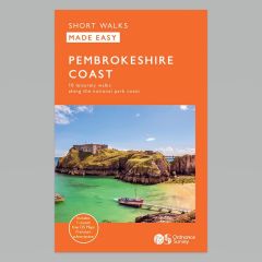 Ordnance Survey Short Walks Made Easy (Novice) - Pembrokeshire CoastRRP £6.99
Our Price £4.89 Saving £2.10 (30%)7 in stock
- 30%off RRP
 Ordnance Survey Short Walks Made Easy (Novice) - South DownsRRP £6.99
Our Price £4.89 Saving £2.10 (30%)16 in stock
- 30%off RRP
 Ordnance Survey Short Walks Made Easy (Novice) - The Lake DistrictRRP £6.99
Our Price £4.89 Saving £2.10 (30%)17 in stock
- 30%off RRP

- 30%off RRP
- 30%off RRP
- 30%off RRP
- 30%off RRP
- 30%off RRP
- 30%off RRP
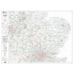
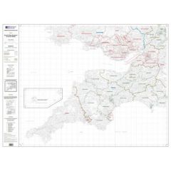 OS Admin Boundry Map - South West EnglandRRP £20.00
Our Price £14.00 With Free First Class Delivery On All Orders Saving £6.00 (30%)1 in stock
- 30.8%off RRP