AA - Road Atlas - Ireland
Our Price £6.39 With Free First Class Delivery On All Orders Saving £1.60 (20%)
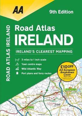
AA Ireland Road Atlas
Scale: 1:200,000
Updated from Ireland's Official Mapping Agencies, OSI and OSNI, this atlas includes AA approved camping sites and AA recommended golf courses, car parks, picnic sites, port plans and ferry routes. Plus, motorway strip maps detailing all of Ireland's motorway junctions. There are 11 detailed city and town plans: Belfast, Cork, Londonderry, Dublin, Galway, Killarney, Kilkenny, Limerick, Sligo and Waterford and an easy-to-read 3,500 place name index, including tourist sites.
| Series | Road Atlases |
|---|---|
| Activity | Driving, Touring, Travel |
| Brand | AA |
| Continent | Europe |
| Country | Ireland |
Dispatch
We pride ourselves on providing a fast, efficient service and therefore we aim to dispatch all orders received before 4:00pm on the same day.
Free Delivery
We offer a free 1st class delivery service on all orders. This gaurantees you a 1-2 day delivery service via Royal Mail.
Need it fast?
we offer a selection of shipping upgrades at the checkout stage.
- Expedited Shipping - Royal Mail 1st Class: FREE
- Next-Day Courier Shipping - 24hr Courier Service: £6.95
The Dash 14 day – ‘No Questions Asked’ Returns Policy
Provided you return the item(s) to us in an unused and resaleable condition along with its original packaging…
We guarantee that if you change your mind for any reason within 14 days of purchase, you are free to return your item(s) to us for exchange or full refund on the product price
Beyond our 'No Questions Asked' period we will of course, happily accept items being returned as a result of damage or packing errors. In each of these cases we will provide you with a freepost address for the return of the item(s).