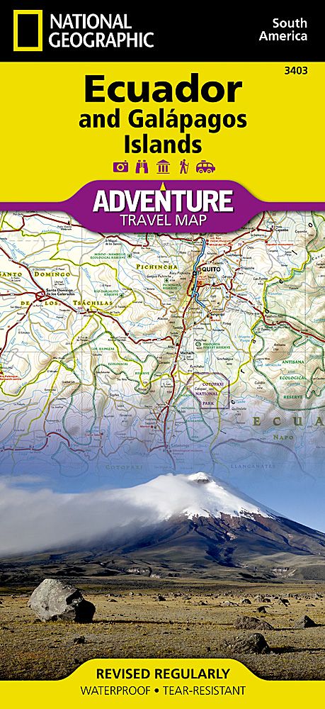
National Geographic - Adventure Map - Ecuador & Galapagos
Our Price £13.29 With Free First Class Delivery On All Orders Saving £0.70 (5%)


•26" x 38" open; 4 1/4" x 9 1/4" folded
•1:750:000
Each title contains accurate topography, up-to-date roads, points-of-interest, and detailed inset maps for major cities, plus a host of important travel tips. Adventure Maps are printed on the same durable, waterproof, and environmentally friendly material as our Trails Illustrated maps, making them ideal for the rigors of international travel.
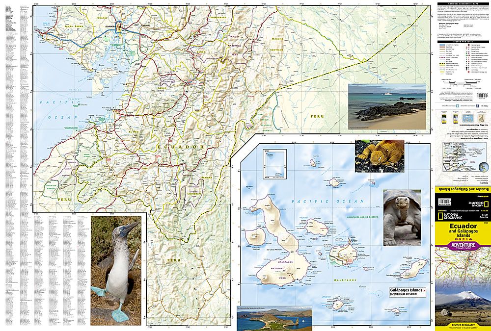
National Geographic's Ecuador and Galapagos Adventure Map is designed to meet the unique needs of adventure travelers—detailed, durable, and accurate. Ecuador and Galapagos includes the locations of thousands of towns and villages, plus a clearly marked road network complete with distances and designations for highways, roads and more.
What sets National Geographic Adventure Maps apart from traditional road maps are the hundreds of points of interest that highlight the diverse, unique, and exotic destinations within Ecuador and the Galapagos islands including national parks and reserves, World Heritage sites, archeological sites, churches, spas, and more.
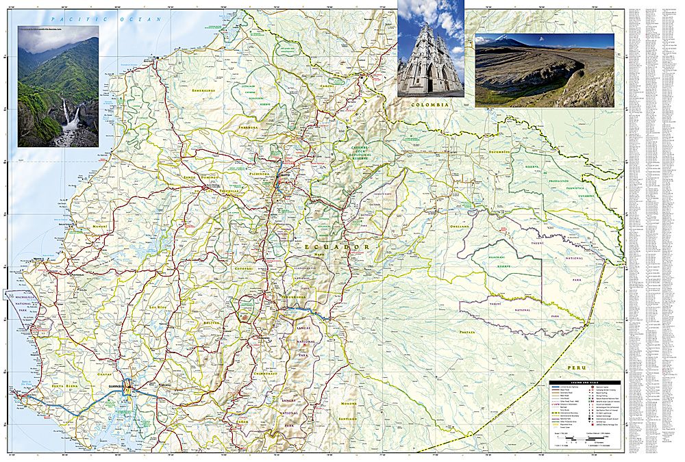
The front side of the map shows the southern half of Ecuador including the provinces of Zamora, Chinchipe, Loja, El Oro, Azuay, Canar, Santa Elena, Guayas, Chimborazo, and Morona-Santiago. Galápagos is presented separately at larger scale, providing greater detail of the islands. Travelers to these unique islands often come to experience the unusual wildlife studied by Charles Darwin. Areas noted for their beaches, surfing, diving, and fishing are marked with activity symbols for outdoor enthusiasts wishing to further explore the islands and Ecuador’s coastline. The provinces of Bolivar, Carchi, Cotopaxi, Esmeraldas, Imbabura, Los Rios, Manabi, Napo, Orellana, Tungurahua, Pastaza, Pichincha, Santo Domingo de los Tsachilas, and Sucumbios are included on the reverse side. Provincial and political borders are clearly and accurately marked with colored boundaries, as are the national parks and reserves.
| Series | Adventure Maps |
|---|---|
| Activity | Touring, Travel, Walking |
| Brand | NATIONAL GEOGRAPHIC |
| Continent | South America |
| Country | Ecuador |
Dispatch
We pride ourselves on providing a fast, efficient service and therefore we aim to dispatch all orders received before 4:00pm on the same day.
Free Delivery
We offer a free 1st class delivery service on all orders. This gaurantees you a 1-2 day delivery service via Royal Mail.
Need it fast?
we offer a selection of shipping upgrades at the checkout stage.
- Expedited Shipping - Royal Mail 1st Class: FREE
- Next-Day Courier Shipping - 24hr Courier Service: £6.95
The Dash 14 day – ‘No Questions Asked’ Returns Policy
Provided you return the item(s) to us in an unused and resaleable condition along with its original packaging…
We guarantee that if you change your mind for any reason within 14 days of purchase, you are free to return your item(s) to us for exchange or full refund on the product price
Beyond our 'No Questions Asked' period we will of course, happily accept items being returned as a result of damage or packing errors. In each of these cases we will provide you with a freepost address for the return of the item(s).